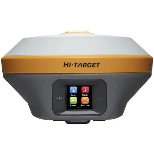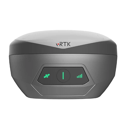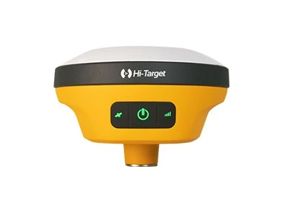
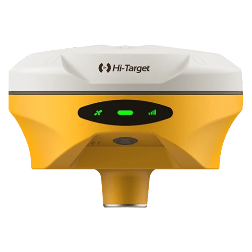
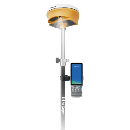
Hi-Target V500 GNSS RTK System
Compact Visual-Stakeout GNSS Receiver for UAE Surveyors
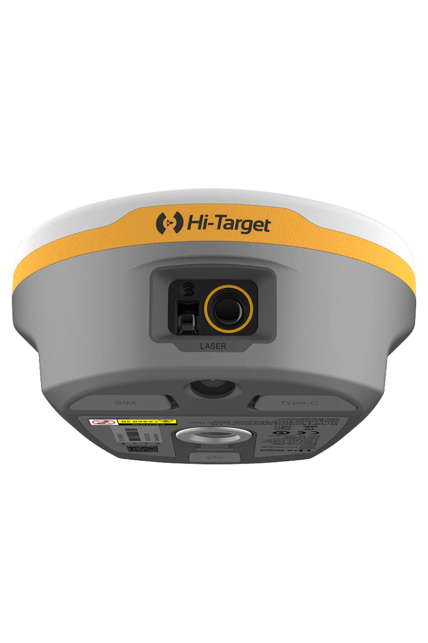
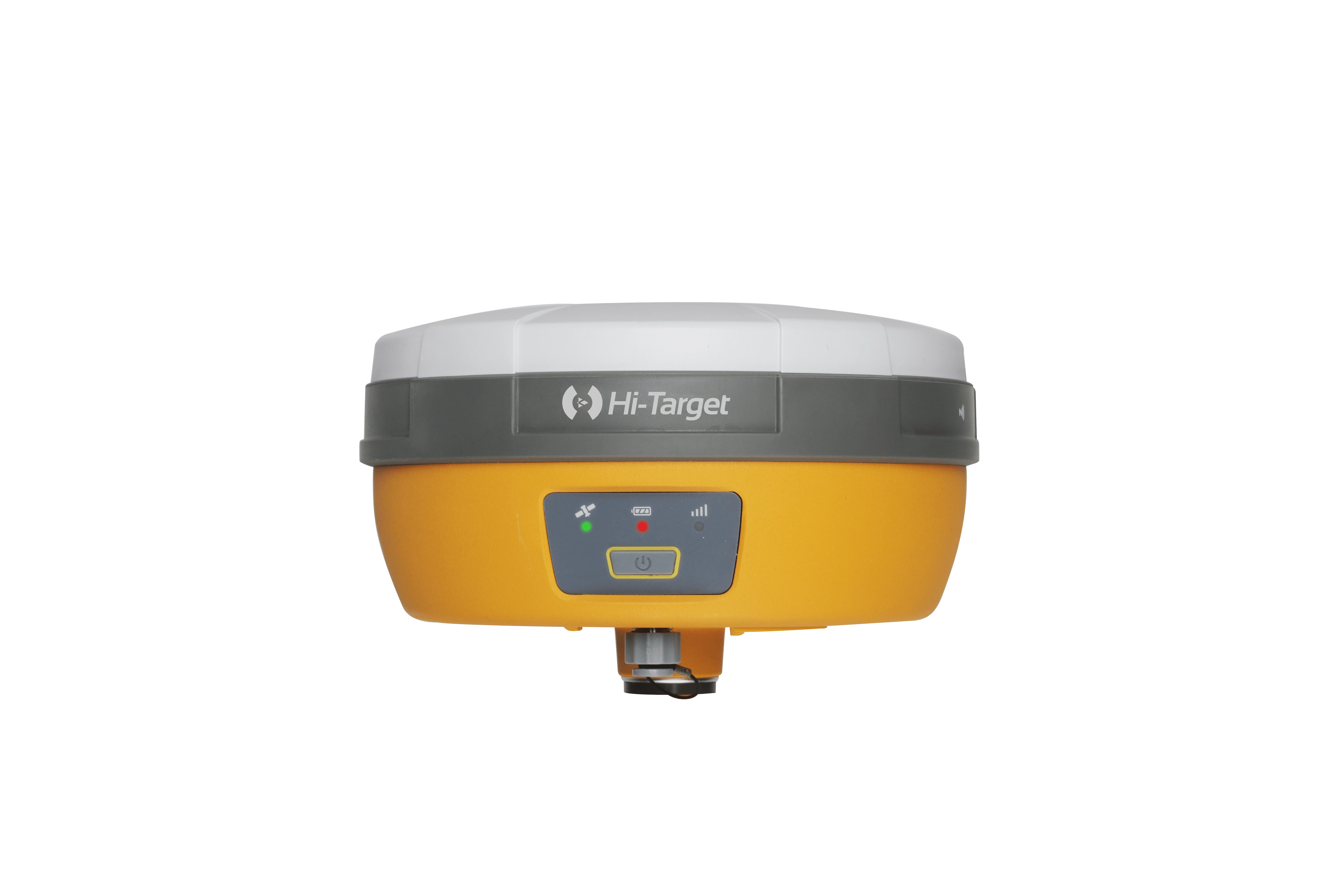
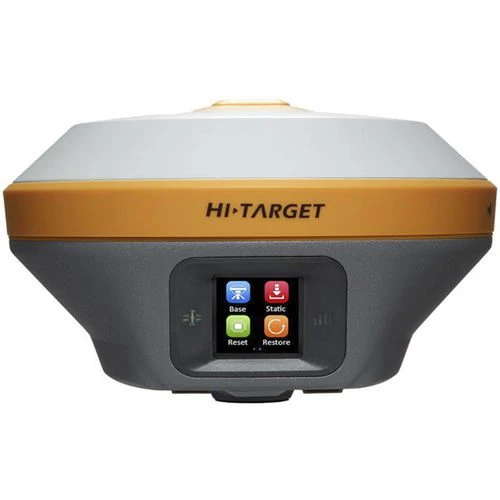
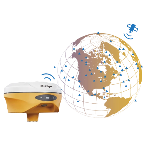
The Hi-Target V500 combines full-constellation GNSS tracking, IMU tilt measurement and camera-assisted visual stakeout in a lightweight receiver. It is designed to help surveying and construction teams find points faster, work efficiently around obstacles and maintain reliable RTK performance in demanding field conditions.
Visual Stakeout and Tilt Survey
The integrated starlight HD camera supports live-view stakeout, helping users identify the direction and location of design points directly in the field. A new-generation IMU enables measurements with the pole tilted up to 60 degrees under suitable conditions, reducing the need for repeated centering.
Technical Highlights
• 1408 GNSS channels.
• GPS, BDS, GLONASS, Galileo, QZSS, NavIC and SBAS signal support.
• RTK accuracy specified at 8 mm + 1 ppm horizontal and 15 mm + 1 ppm vertical.
• Typical RTK initialization in under 10 seconds under suitable conditions.
• 1 cm AR stakeout accuracy under specified conditions.
• Weight of approximately 0.75 kg.
• IP68 dust and water protection and 2 m drop-resistant design.
• Internal 6800 mAh battery with rover operation up to 24 hours, depending on conditions.
• Internal UHF radio, Bluetooth 5.2, Wi-Fi and USB-C.
• NTRIP, VRS, FKP and MAC network modes.
UAE Applications
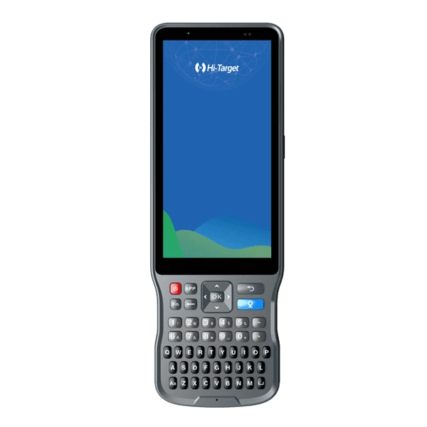
The V500 is suitable for topographic surveys, construction stakeout, road and utility work, cadastral surveying and GIS data collection. GeoArc provides UAE delivery, configuration guidance, training, warranty and technical support. Contact our Abu Dhabi team to confirm the correct receiver, controller, radio and software package.