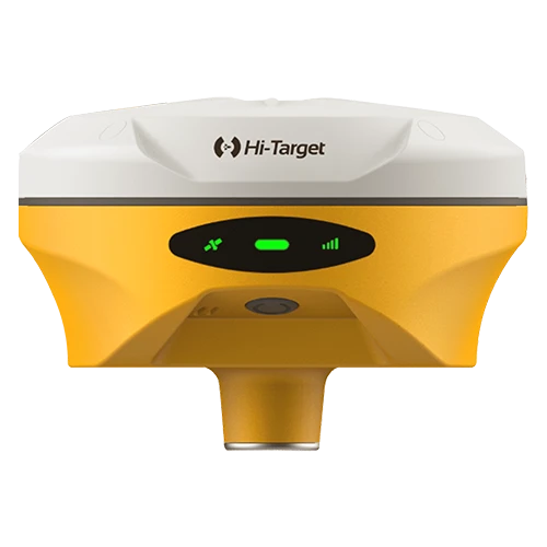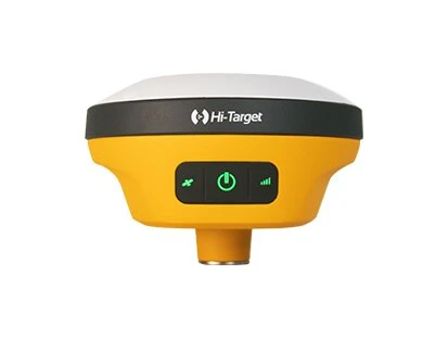
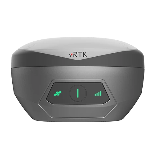
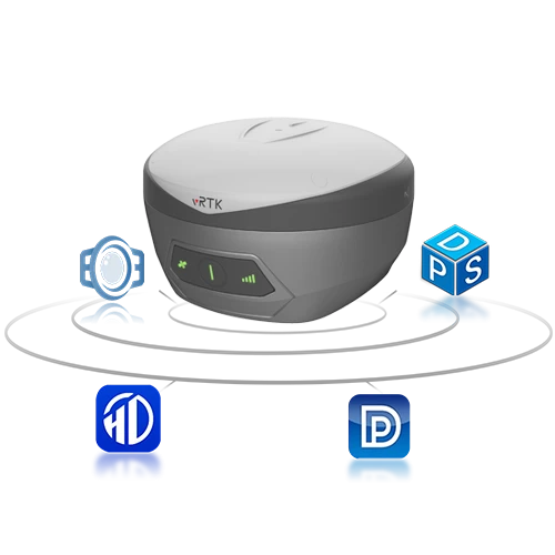
Hi-Target vRTK GNSS RTK System
Visual Positioning Technology for Faster Survey Work
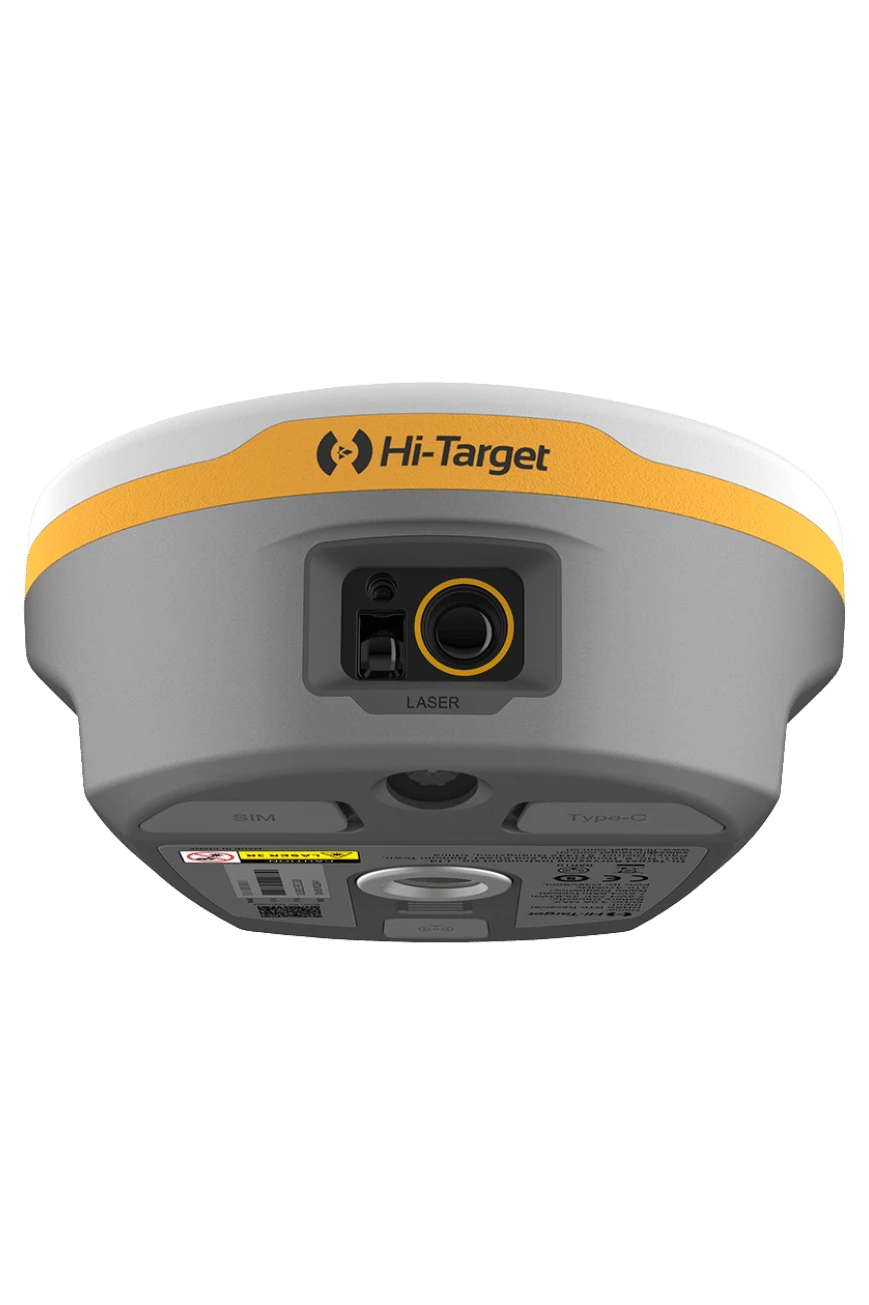
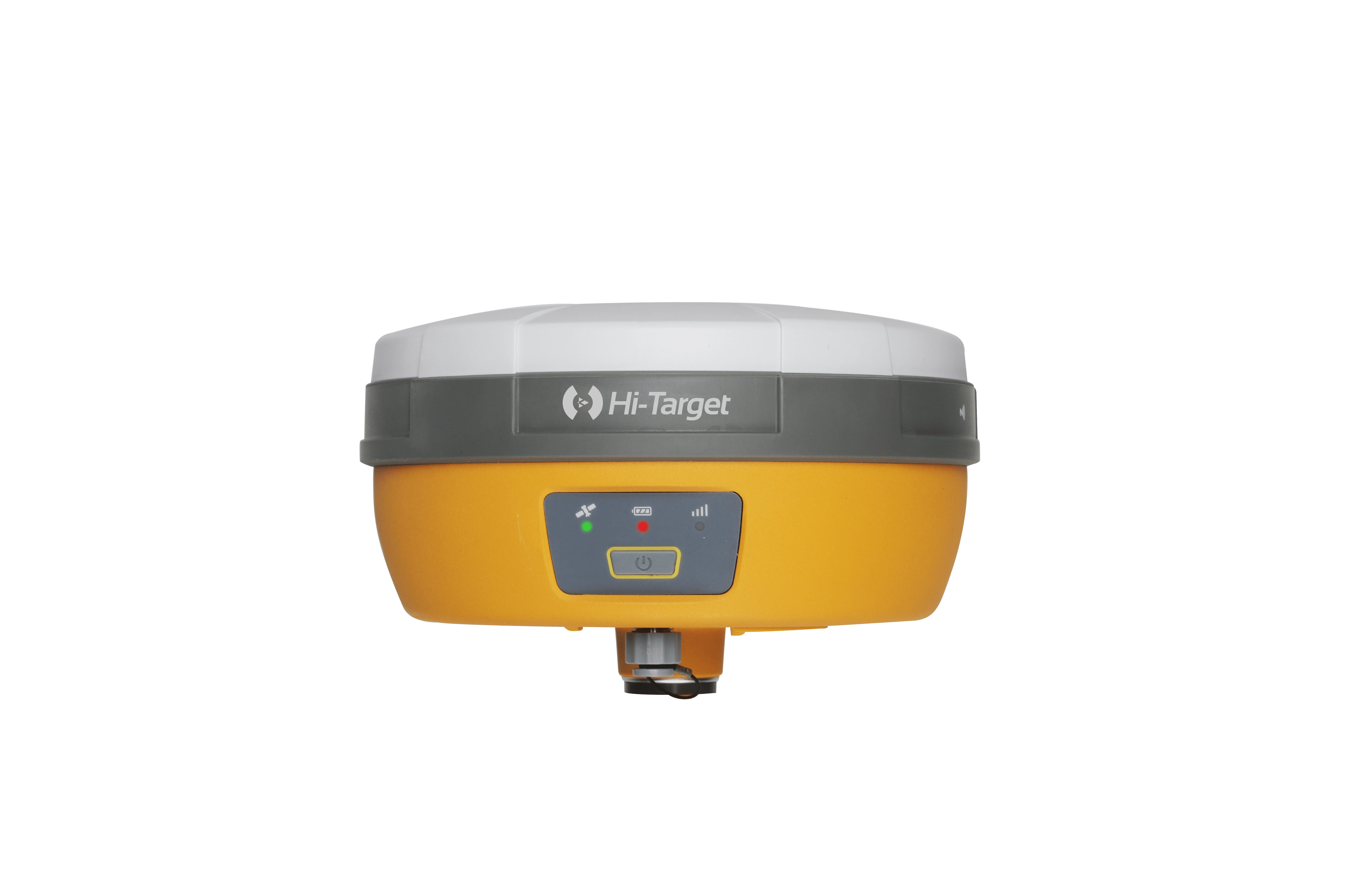
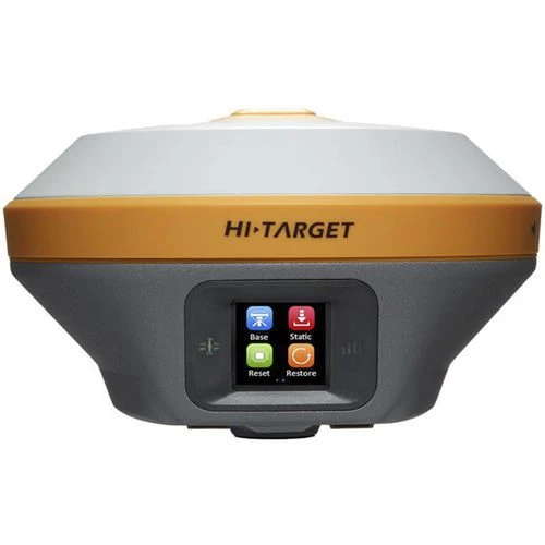
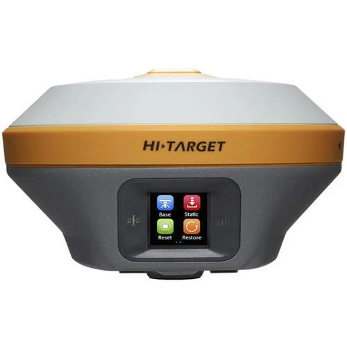
The Hi-Target vRTK is a professional GNSS RTK receiver that combines high-precision satellite positioning with image-based measurement and visual stakeout. It is designed for surveyors who need to collect difficult points, navigate to design locations quickly and create better field documentation.
Image Positioning
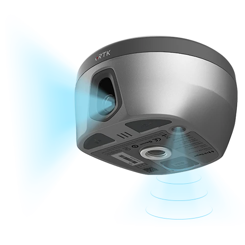
The vRTK captures images with accurate position and orientation information. Survey teams can use this capability to measure points that are difficult or unsafe to occupy directly, subject to project conditions and the approved workflow. Image data can also support close-range documentation and selected photogrammetric applications.
Visual Stakeout
Camera guidance overlays navigation information on the live field view, making it easier to understand the direction and distance to a stakeout point. This reduces time spent interpreting conventional arrows and helps new and experienced crews work more confidently.
Professional GNSS Workflow
• Multi-constellation, multi-frequency GNSS tracking.
• Centimeter-level RTK positioning under suitable conditions.
• Camera-assisted visual stakeout.
• Image positioning for inaccessible or obstructed points.
• IMU tilt measurement for efficient point collection.
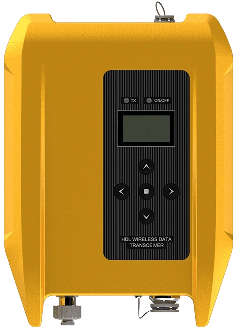
• UHF and network RTK communication options.
• Rugged design for surveying and construction environments.
Applications and UAE Support
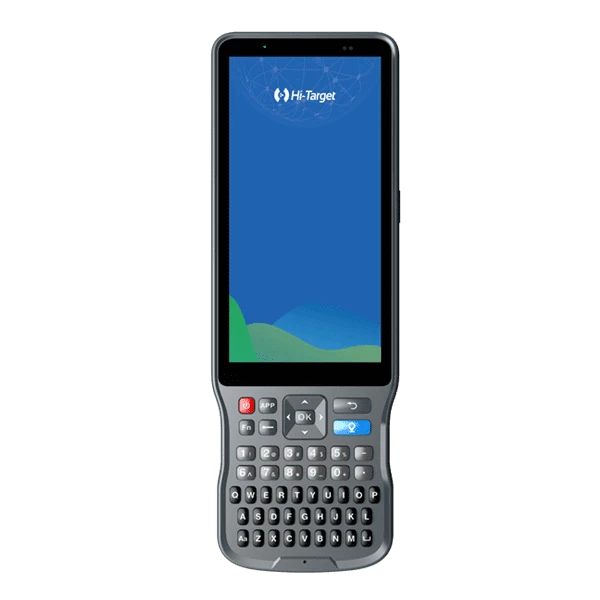
The vRTK is suitable for topographic surveying, construction layout, utility and road work, building documentation and projects combining ground images with mapping data. GeoArc supplies Hi-Target systems in the UAE with package configuration, delivery, training, warranty and technical support. Contact us to select the correct receiver, controller, software and accessories.