
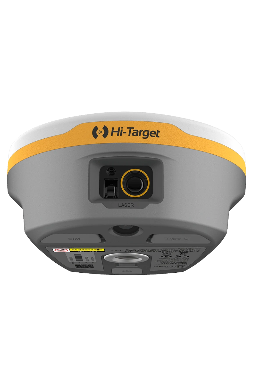
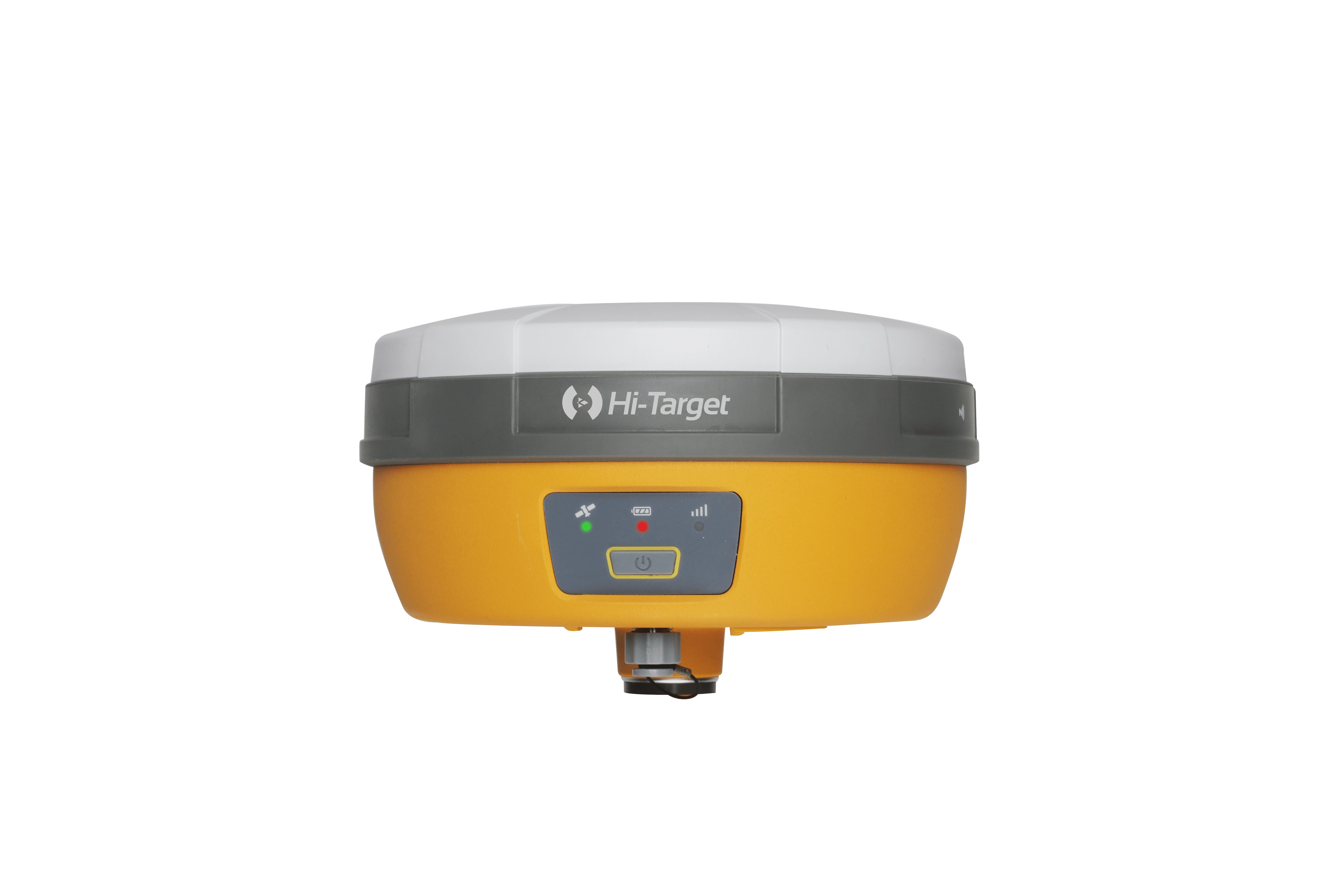
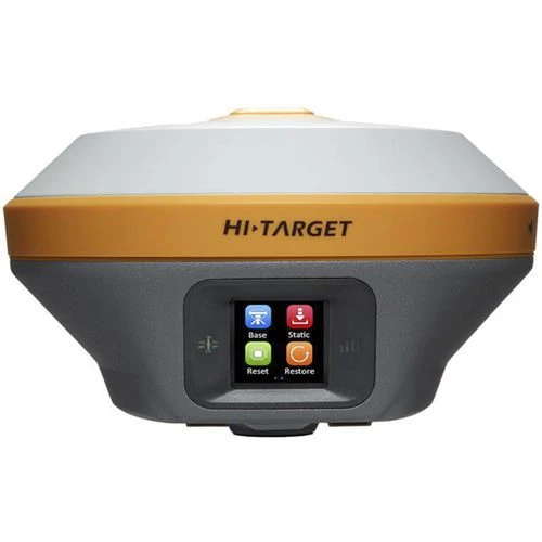
Hi-Target V600L Laser Rover + iRTK5 Base Full Set
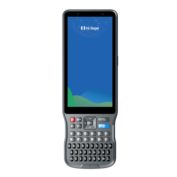
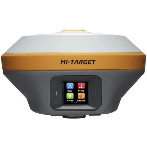
A complete GNSS surveying package pairing the Hi-Target V600L Laser RTK rover with the Hi-Target iRTK5 base receiver, supplied with an iHand55 handheld controller, HDL460A external radio, tripods, survey pole, bipod and the accessories listed below. Designed for base-and-rover field workflows, the set combines conventional RTK surveying with the V600L's visual laser targeting, tilt measurement and image-assisted stakeout capabilities.
Included in the Bundle
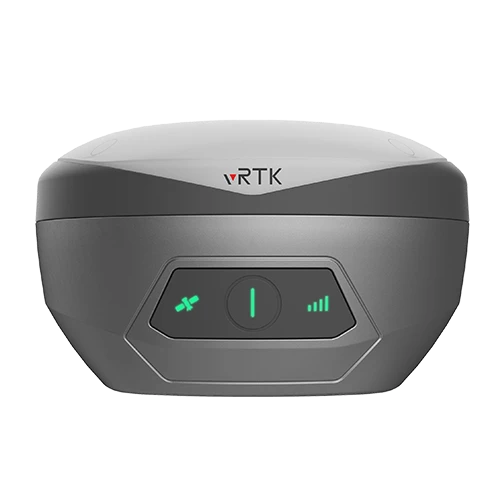
• V600L GNSS RTK System (Rover) × 1
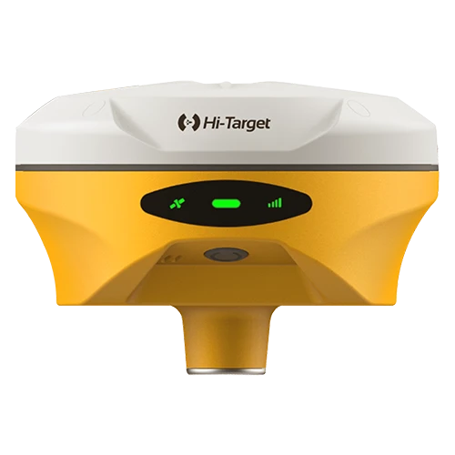
• iRTK5 GNSS RTK System (Base) × 1
• Power Adapter × 1
• USB Data Cable × 1
• TB-1 Antenna Connector × 1
• Survey Benchmark × 2
• Steel Tape (3 m) × 1
• Short Connecting Rod × 1
• Radio Receiving Antenna × 1
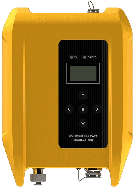
• Hi-Target HDL460A External Radio × 1
• Radio Communication Cable × 1
• Power Cable for External Radio × 1
• Extension Rod × 1
• Extension Rod Accessories Package × 1
• UHF-460C Transmitting Antenna × 1
• RF-35A Transmitting Antenna Connector × 1
• Tribrach Aluminum Sheet × 2
• Certificate of Quality × 2
• Warranty Card × 2
• QR Code Manual Card (Hi-Target) × 1
• Envelope × 2
• Plastic Case PVC Label (Hi-Target) × 2
• Base Plastic Case, Gray (137), without Logo × 2
• Aluminum Tripod × 2
• Tribrach with Optical Plummet × 1
• Radio Receiving Antenna × 1
• Hi-Target Survey Pole (New Logo), 2.2 m × 1
• Power Adapter × 1
• iHand55 Handheld Controller × 1
• USB Data Cable × 2
• iHand55 Controller Pallet × 1
• Touch Pen × 1
• Carbon Fiber Bipod for Survey Pole × 1
V600L Rover Highlights
• Non-contact laser surveying: measure hard-to-reach points with 2 cm accuracy within 10 m, using an on-screen laser spot for intuitive targeting.
• 1408-channel GNSS: supports GPS, BDS, GLONASS, Galileo, QZSS, NavIC and SBAS.
• Instant-start IMU: automotive-grade 200 Hz IMU with automatic calibration, no initialization required and tilt surveying up to 60°.
• Visual stakeout: front and bottom cameras support AR stakeout; the front camera also supports image-assisted measurement.
• Field connectivity: integrated LoRa radio, LTE/GSM, Wi-Fi and Bluetooth 5.2.
• All-day rover operation: up to 20 hours of use from the built-in rechargeable battery.
• Compact and rugged: receiver weight ≤0.73 kg, IP68 protection and a design that withstands a 1.8 m fall onto concrete.
V600L Rover Technical Specifications
• RTK accuracy (RMS): horizontal 8 mm + 1 ppm; vertical 15 mm + 1 ppm.
• High-precision static accuracy (RMS): horizontal 2.5 mm + 0.1 ppm; vertical 3.5 mm + 0.4 ppm.
• RTK initialization: typically <10 seconds; reliability typically >99.9%.
• Laser: Class 3R; 2 cm measurement accuracy within 10 m.
• Positioning rate: 1 Hz, 5 Hz and 10 Hz.
• Internal UHF radio: 410–470 MHz; adjustable 1 W / 1.5 W output.
• Radio protocols: TRIMTALK450S, TRIMMARK III, SATEL-3AS and TRANSEOT.
• Storage: 64 GB ROM.
• Interfaces: USB-C, SMA antenna port and Nano SIM slot.
• Data formats: NMEA-0183, GNS, RINEX, RTCM 2.x/3.x and CMR.
• Network modes: VRS, FKP and MAC, with NTRIP support.
• Battery: built-in 7.2 V / 4900 mAh rechargeable battery; up to 20 hours in rover mode.
• Charging: USB-C, 5 V / 2.8 A.
• Receiver dimensions: 130.97 × 68.7 mm.
• Operating temperature: −40°C to +75°C.
• Protection: IP68; MIL-STD-810G shock and vibration rating.
Surveying Applications
Suitable for land surveying, topographic data collection, construction stakeout and road engineering workflows. The V600L's laser function helps capture points near fences, across ditches and in other locations that are difficult to access with a survey pole.
Field Software
The V600L supports Hi-Survey for Android on compatible Hi-Target controllers and supported Android devices.
Technical specifications above apply to the V600L rover. Measurement accuracy and battery runtime vary with field conditions.

No review given yet!
 Fast Delivery / Cash On Delivery (COD)
 Safe Payment
 1 Year Warranty and Support
 100% Original Products



You need to Sign in to view this feature

This address will be removed from this list
 english