The LiGrip H300 (Ver B.00), discover the latest innovation in GreenValley International (GVI)’s LiGrip handheld series. This sleek and compact device offers lightweight handling, userfriendly operation, and versatile installation ptions. With its advanced sensors, the LiGrip H300 can quickly capture extensive scene data across various platforms, such as handheld, backpack, mounted on vehicle, and drone. Experience the power of multiple high-precision mapping methods, including SLAM, PPK-SLAM, and RTK-SLAM, allowing you to swiftly acquire point cloud data with absolute coordinates. Combined with GVI's self-developed LiDAR360 and LiDAR360MLS software, the LiGrip H300 effortlessly tackles last-mile challenges in mapping, mining, forestry, and road asset survey. Boasting a cutting-edge XT32M laser, the LiGrip H300 achieves a maximum range of 300 meters, and the scanning rate can reach 640,000 pts/s.
300-Meters Scanning Range
640,000 points per second
Choose from: SLAM, RTK-SLAM, and PPK-SLAM for flexibility across a range of scenarios.
RTK-SLAM: Ideal for areas with CORS signal coverage, allowing you to directly obtain precise point clouds with absolute coordinates.
PPK-SLAM: In areas without CORS signal coverage, you can choose to set up a base station to obtain point clouds with absolute coordinates.
SLAM: Point clouds with absolute coordinates can be obtained through the integration of GCP control points (if point clouds without absolute coordinates are sufficient, direct data collection can be performed).
Versatile Mapping Methods:
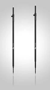
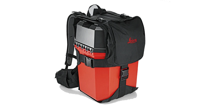
Use as handheld, backpack, vehicle-mounted, and drone-mounted to ensure comprehensive coverage and enhanced efficiency for different site requirements.


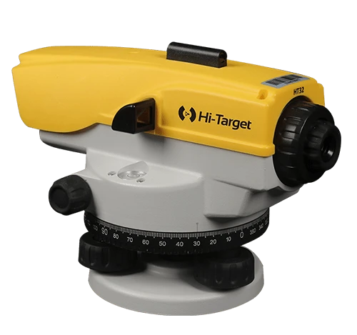
 Measuring technology
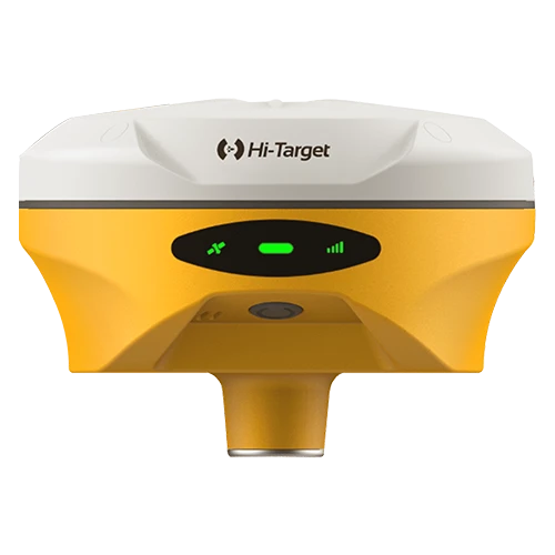
 Survey Products
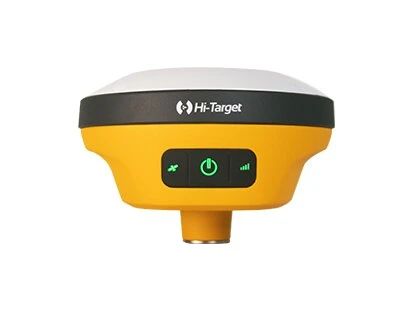
 GIS Products