
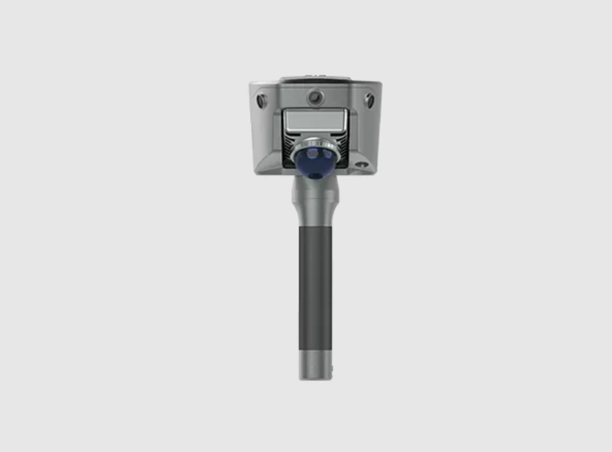
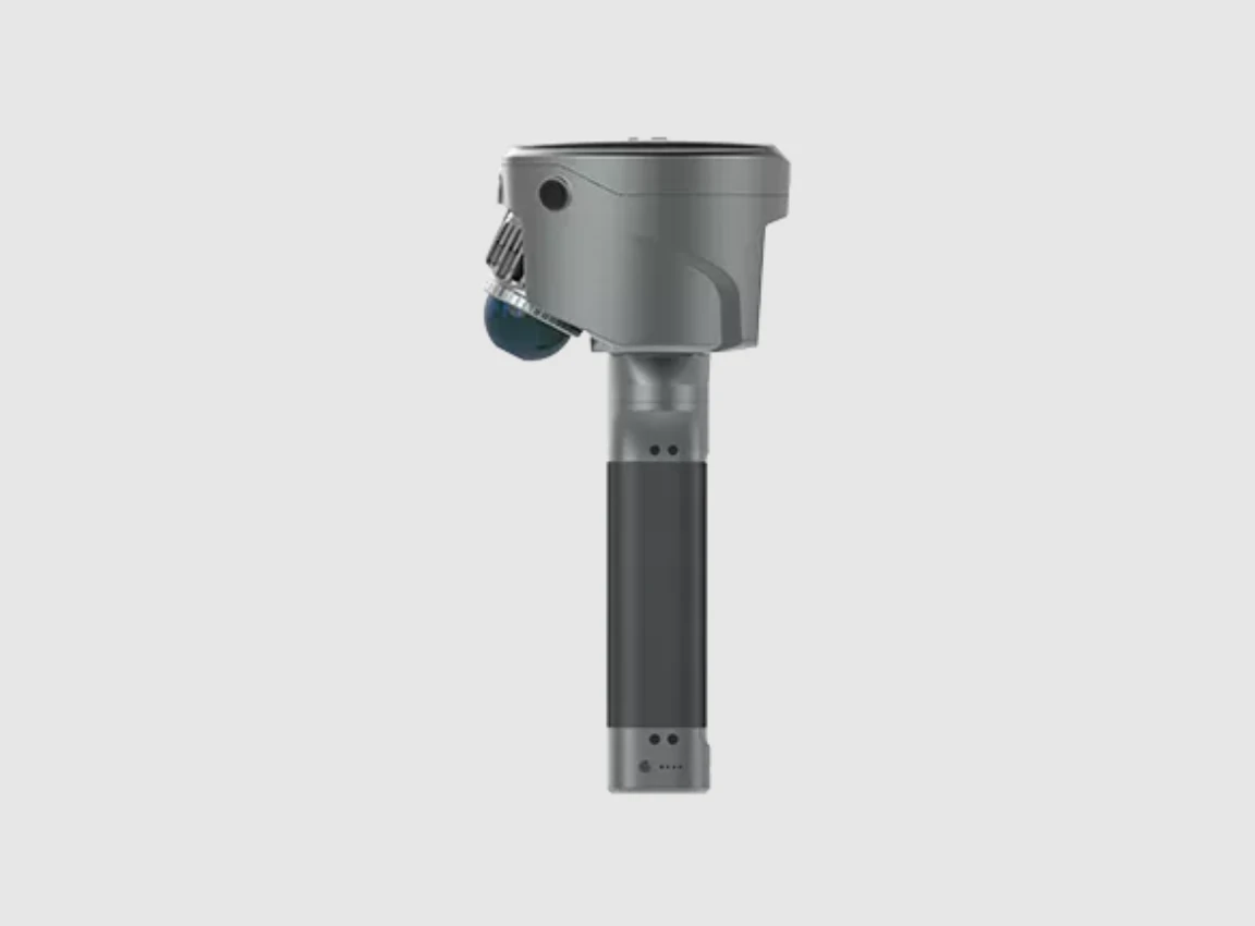
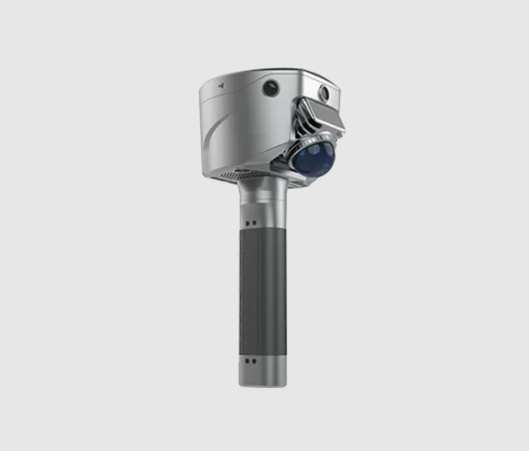
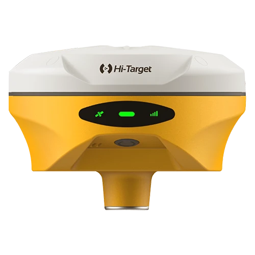
SatLab SL9 SLAM RTK combines high-precision GNSS positioning with cutting-edge SLAM technology, eliminating the spatial constraints of traditional RTK measurements. Whether in urban buildings, dense forests, or indoor environments, SL9 ensures reliable, precise measurements, redefining efficiency and versatility in fieldwork.SatLab SL9 SLAM RTK combines high-precision GNSS positioning with cutting-edge SLAM technology, eliminating the spatial constraints of traditional RTK measurements. Whether in urban buildings, dense forests, or indoor environments, SL9 ensures reliable, precise measurements, redefining efficiency and versatility in fieldwork.
1. New Image Measurement Experience
With three HD cameras and SLAM integration, the SL9 lets you measure in real-time—just select the target point in the image to get its 3D coordinates. Achieve 2–5 cm accuracy within 15 meters using the Satsurv app.
2. Boundaryless Surveying with SLAM-Fix Tech
SL9 smartly switches between RTK and SLAM. Get reliable coordinates even under bridges, eaves, or indoors—no signal, no problem.
3. Unified Coordinate System
No more stitching data. SL9 keeps your coordinates unified across environments—no control points, no loop closure, no hassle.
4. Fast & Easy Volume Calculation
Instantly generate 3D terrain and calculate volumes right on-site using the Android-based Satsurv app.
5. Reliable Signal, High-Quality Data
Track all major constellations with superior performance in tough environments, achieving centimeter-level accuracy.
6. Precision Post-Processing with Sat-LiDAR
Post-process your data with Sat-LiDAR for <2 cm thickness and <1 cm accuracy. The software supports tunnel excavation analysis, progress monitoring, and acceptance checks. It also aids renovation projects with cross-section, plan, and elevation outputs.
Applications:

No review given yet!
 Fast Delivery / Cash On Delivery (COD)
 Safe Payment
 1 Year Warranty and Support
 100% Original Products


You need to Sign in to view this feature

This address will be removed from this list
 english