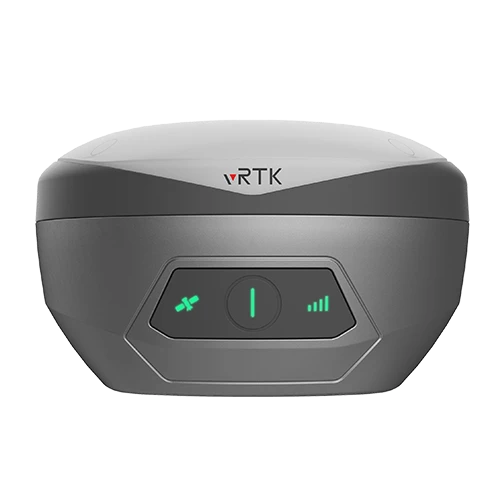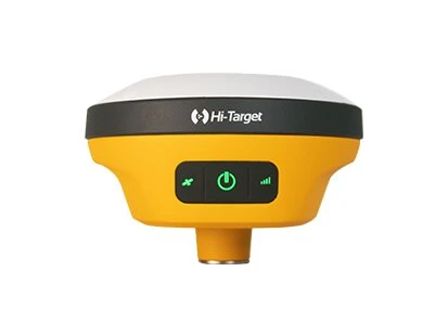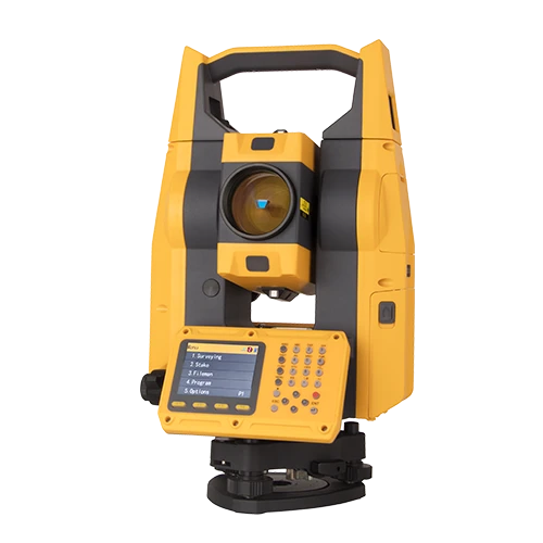
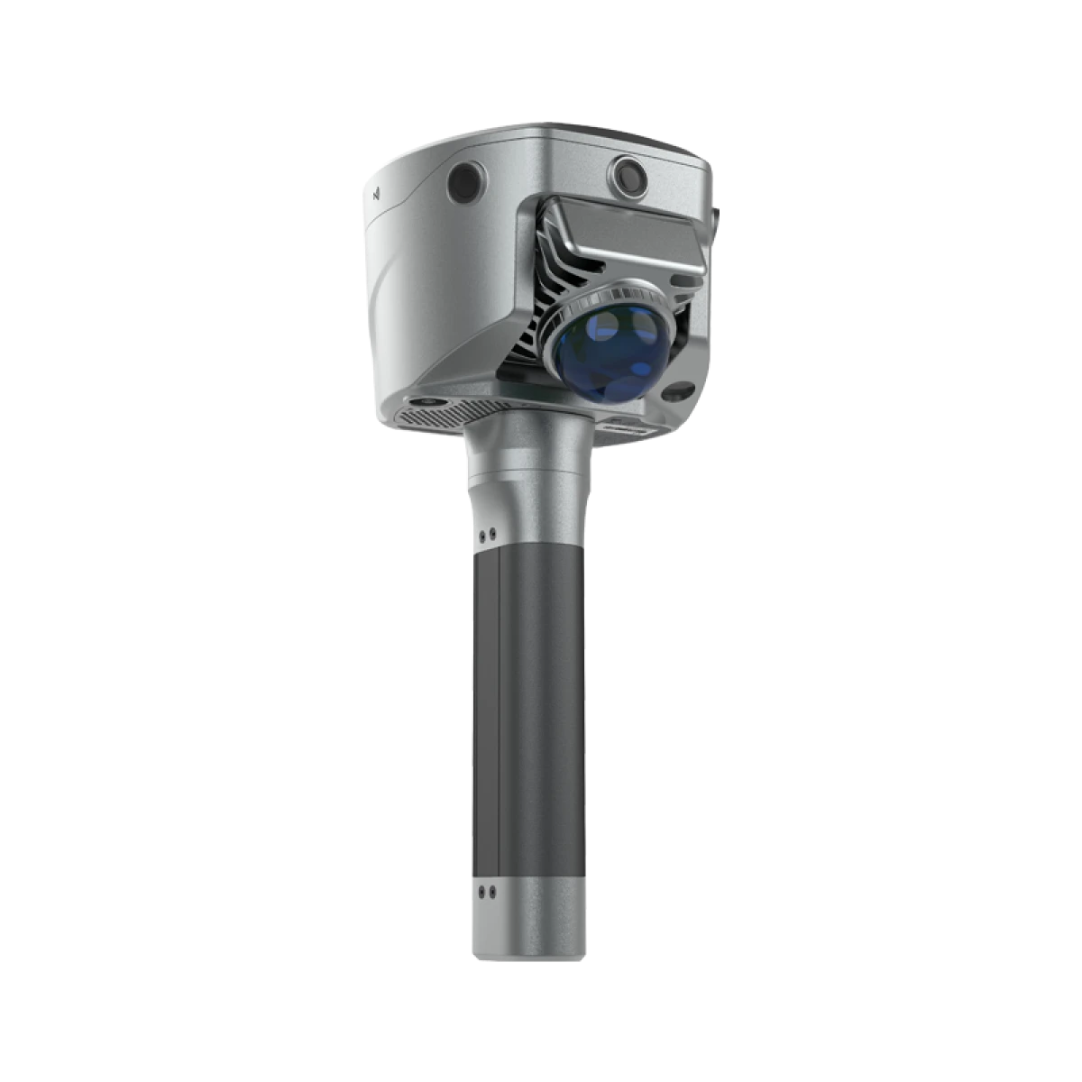
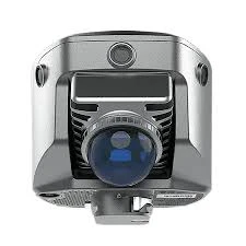
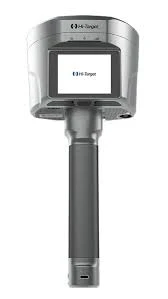
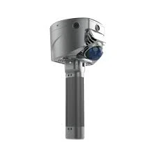
Hi-Target V700S SLAM RTK System
One Survey System for Outdoor and GNSS-Denied Environments
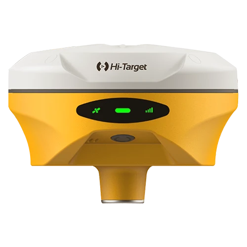
The Hi-Target V700S combines GNSS RTK and SLAM technologies to support high-precision data collection in open outdoor locations and areas where satellite reception is limited. It helps surveying teams move from conventional point measurement to richer, contactless geospatial capture across construction, infrastructure and mapping projects.
RTK and SLAM Fusion
In open-sky environments, the V700S uses full-constellation GNSS tracking for precise RTK positioning. In tunnels, warehouses, under bridges and other GNSS-denied spaces, SLAM processing uses laser point-cloud and image data to continue mapping. This integrated workflow reduces equipment changes between outdoor and indoor tasks.
Contactless Measurement
Laser point-cloud and image data allow users to capture coordinates without placing the pole directly on every point. Hi-Target states that photo-based multi-point measurement can achieve better than 5 cm accuracy within a 15 m working distance under specified conditions.
Key Capabilities
• 1408-channel full-constellation GNSS tracking.
• RTK and SLAM operation in one integrated system.
• Laser point-cloud and image-based data collection.
• Contactless measurement for difficult or unsafe locations.
• Compact design with a secure screw-lock battery handle.
• Android-based field processing and visualization.
• Suitable for indoor, outdoor and transitional environments.
Applications and GeoArc Support
The V700S is suited to topographic surveys, building and warehouse mapping, tunnels, culverts, bridges, construction progress and infrastructure documentation. GeoArc provides UAE delivery, solution configuration, demonstrations, training, warranty and technical support. Contact our Abu Dhabi team to discuss the required controller, software and project workflow.